 VFRAssist
In the cockpit, at a glance
Large, high-contrast panels you arrange yourself for climb, cruise and approach. No menus, no searching – readable in a bumpy cockpit and usable with one hand.
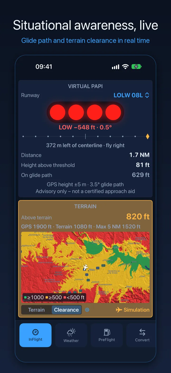
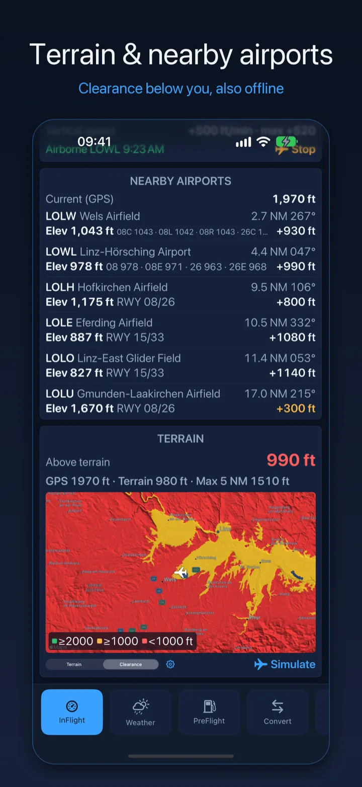
Terrain clearance
The terrain around and below you, coloured against your altitude, with your height above it. Optional warnings turn the panel yellow or red when you get low. Works offline.
Virtual PAPI
Glide path lights, deviation in feet and a centreline indicator for the runway ahead – detected automatically.
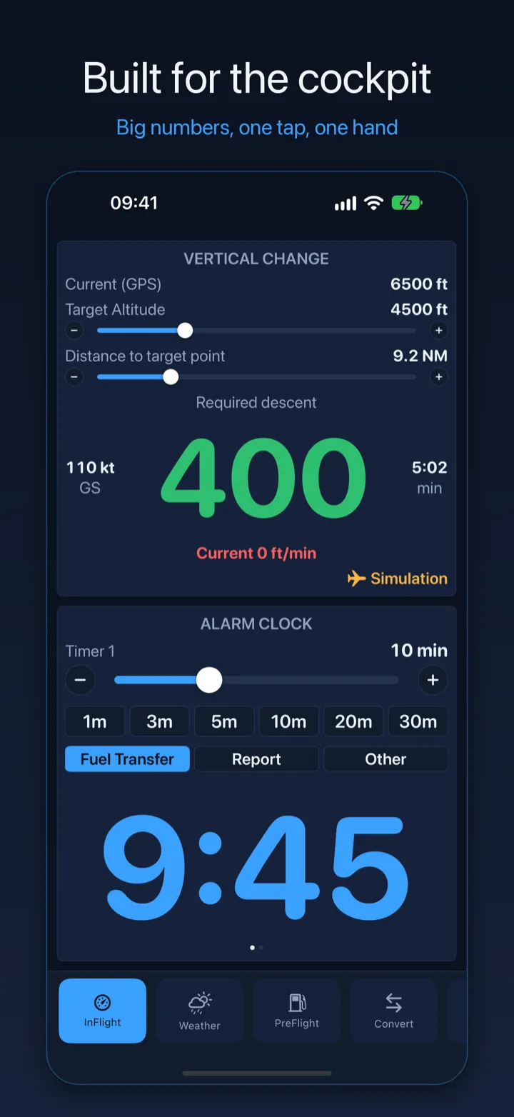
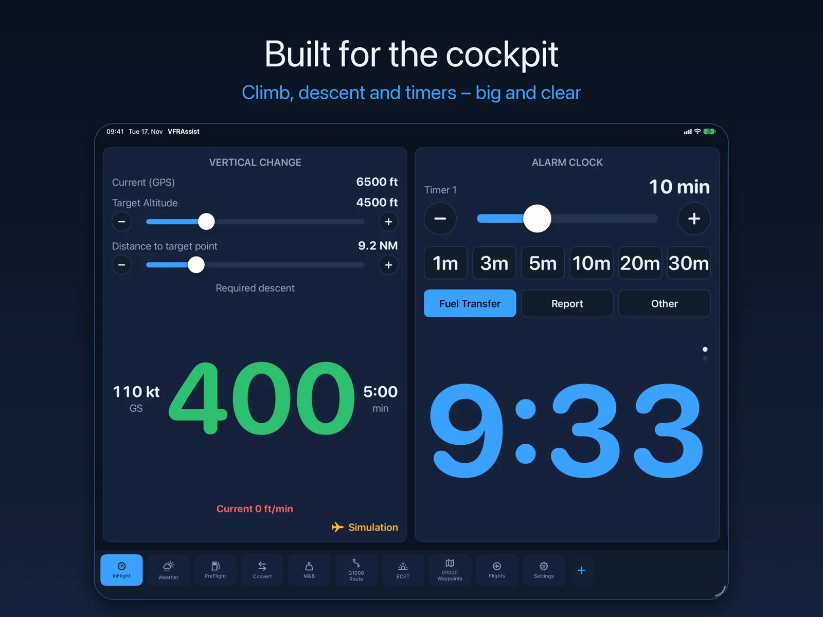
Vertical change
The climb or descent rate you need to reach a target altitude by a point ahead, from your GPS altitude and ground speed.
Glide range
Which airfields you can still reach after an engine failure, from your altitude and your aircraft's glide ratio – with a reserve height above the field.
Position report
Where you are, ready to read out on the radio: distance and direction from the nearest airport, VOR radial, altitude, ground speed and track.
Altitude alerter in your headset
Arm a target altitude: a tone when you reach it, a continuous tone through your Bluetooth headset when you drift off. Timers for fuel transfer and reports ring there too.
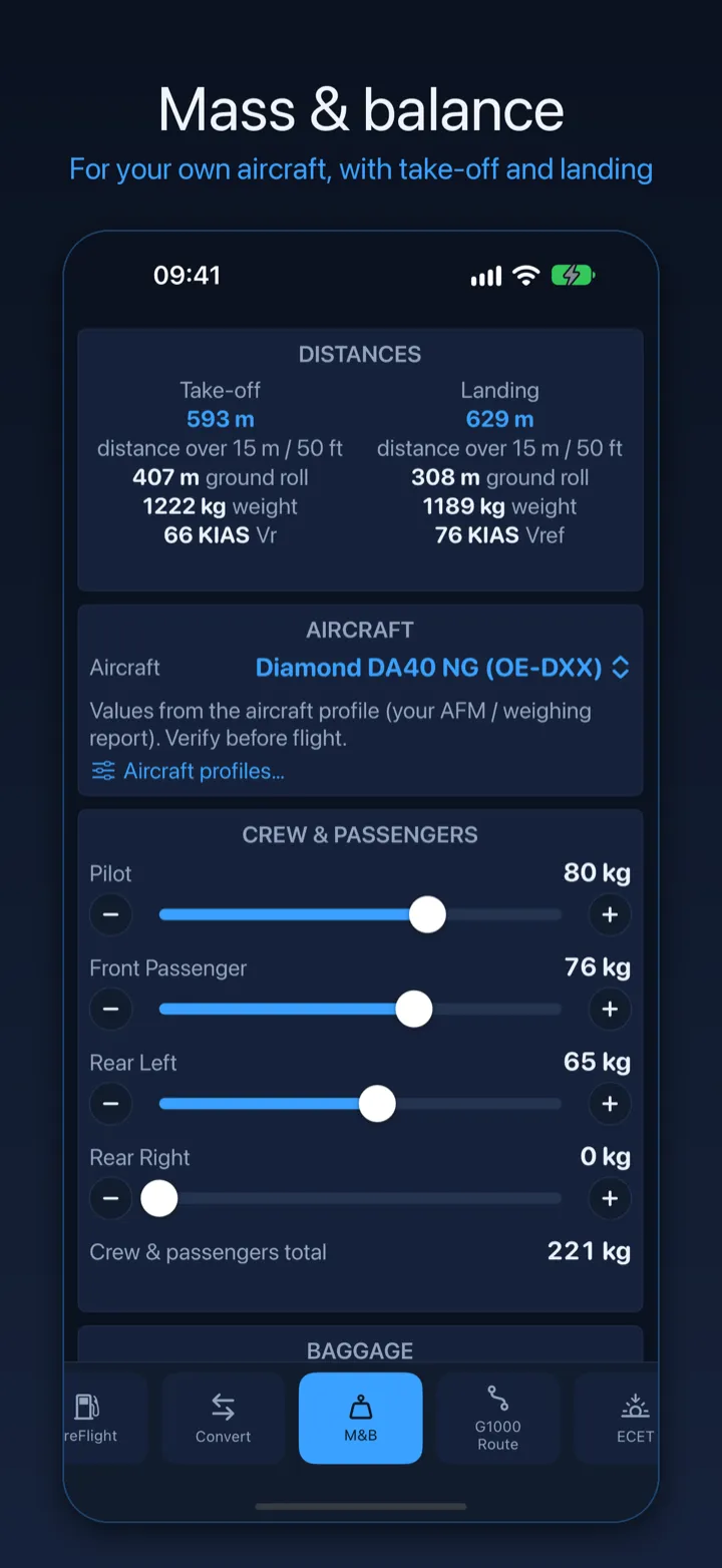
Mass & balance for your aircraft
Create a profile from your weighing report and get masses, CG and envelope at a glance, plus a loading sheet. Templates for the DA40 NG, DA20 and DV20.
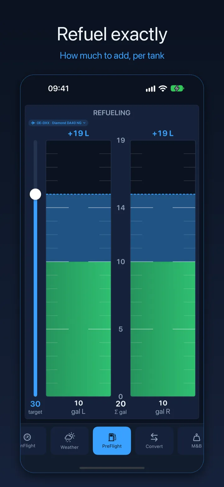
Refueling
Set the current level per tank and the target, and see exactly how much to add.
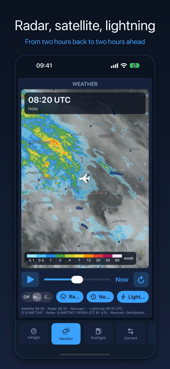
Weather radar & satellite
Satellite, European weather radar, lightning and precipitation nowcast on one map – from two hours back to two hours ahead.
G1000 route & waypoints
Import a route from SkyDemon and send it to Garmin Pilot or export it for the G1000 SD card. Create user waypoints on a map for the G1000 NXI.
Made for iPhone and iPad
Dark design, large numbers, panels that fit any screen – portrait and landscape.
Built by a pilot, for pilots
VFRAssist is made by a private pilot for pilots. Your settings, aircraft and tabs sync between your own devices through iCloud. No account, no ads, no tracking.